


Date: March 22nd, 2024
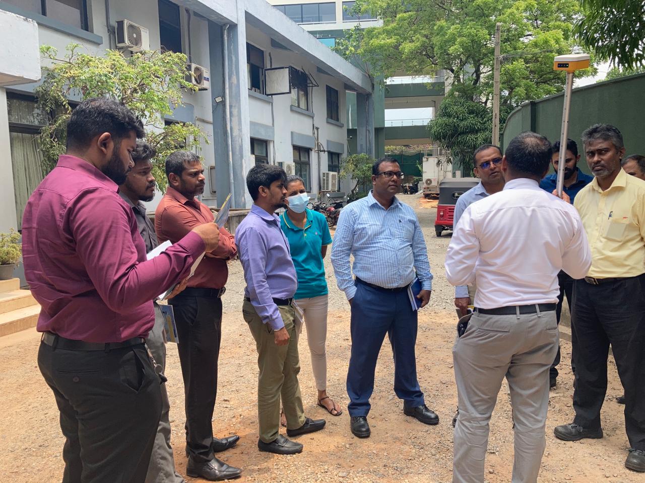
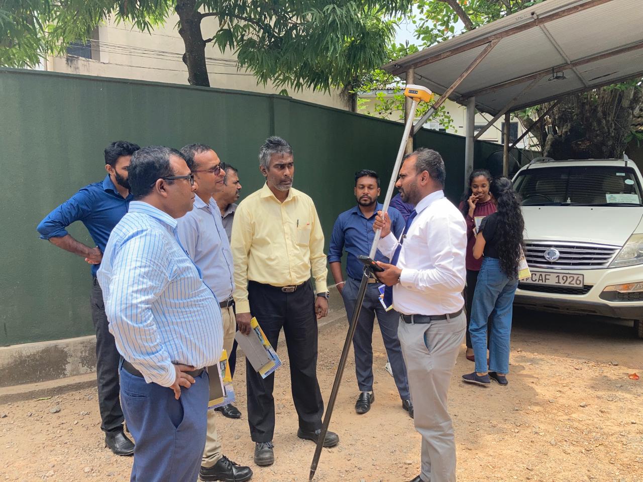
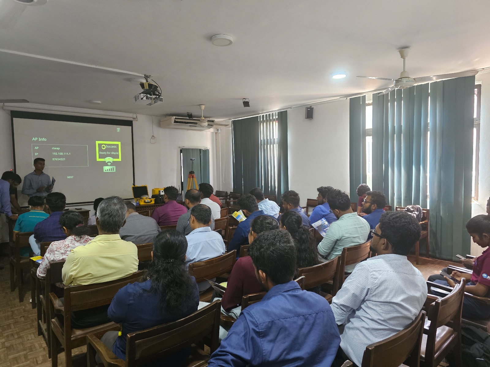
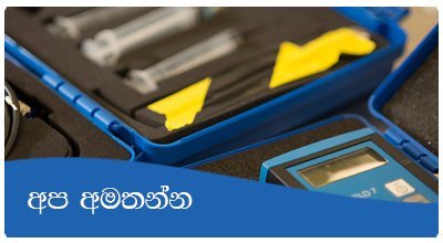
NBRO scientists recently joined a special training in collaboration with Global GIS Private Limited. Held on March 22nd, 2024, the workshop served as a platform, equipping participants with cutting-edge knowledge and practical experience in geospatial technologies.
The training covered various topics, including:
- GNSS technology for surveying and mapping
- Terrain modelling and mapping using drones (LiDAR, Photogrammetry)
- GNSS based building deformation monitoring technology
Beyond theoretical knowledge, the program provided scientists with valuable hands-on experience. This included capturing LiDAR point cloud data, processing it for analysis, and collecting field data using advanced GIS data collectors and specialized software.
This capacity development program empowers NBRO scientists with the latest geospatial tools and skills, enabling them to conduct their research and monitoring activities with greater efficiency and precision.